very politically correct has changed the name to the San Joquin River Gorge in recent years. This is
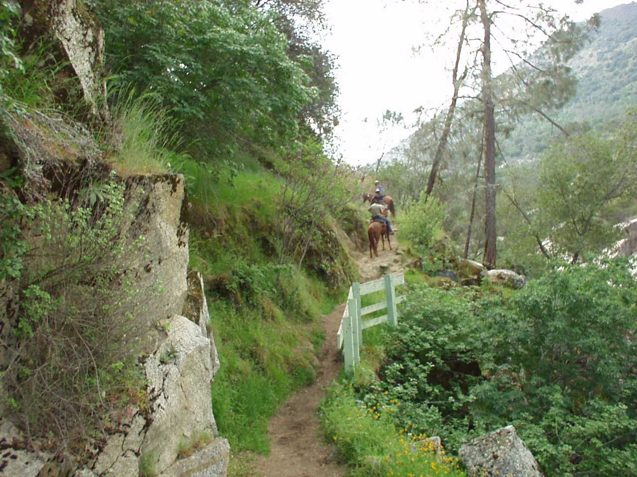
one of our favorite local riding areas. In the springtime the flowers along the trail can be spectacular. The pics
with the blue borders are links to a larger view of the same pic.
The Squaw Leap Bridge (there is no larger view of this one) as it looked in 2002 and to the right, the remodeled bridge in 2003
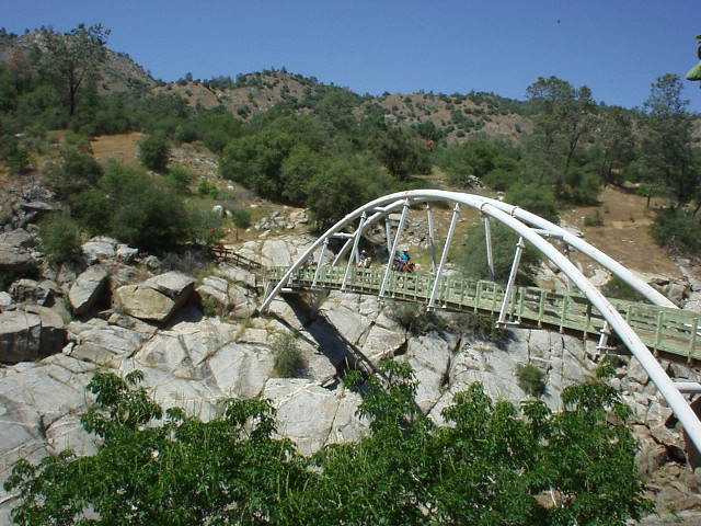

The view from the west side in 2002 and again on Thanskgiving day 2003. Note that the wooden rails have been replaced by steel.

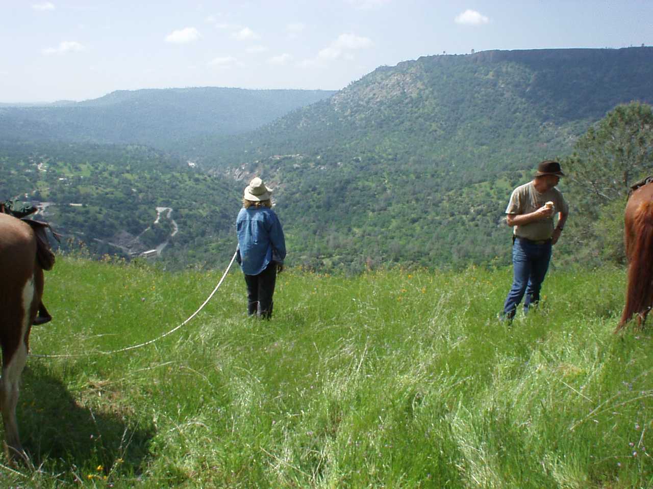
View from the top on the west side of the canyon. Note the powerhouse at the bottom of the canyon.
Nancy is standing in front of the bridge. The photo on the right is at the same spot, looking a different direction, and a different season.
Click HERE for a topo map showing where this pic was taken This link will take you to another web site.
The red X in the middle if the image is the location of this photo.

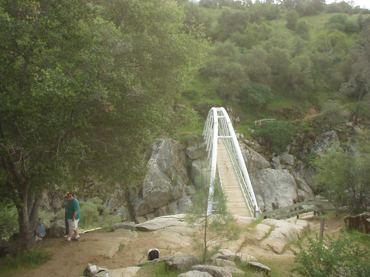
The bridge approach on the east side, looking south from the bridge
View from the west side taken thanskgiving day 2003

Click HERE for USGS aerial photos of the area This link takes you off site. Use the back button to return

